
This half term Year 3 have focussed on Land use and the local area. The children have learned about the differences between urban and rural areas, and the features you can identify of each different land type. We initially learnt about the physical features that were key to early settlers – such as location of water and flat lands for farming/pasture land.
We then transferred out focus to how settlements had grown and the causes for growth, especially the industrial revolution. We then looked at our local area, creating a map of detailing how our local land is used by the community, complete with an informative key!.
Finally, we created our own settlement of the future, taking into account alternative energy sources and how the onset of technology might change future settlements and the needs of local people, utilising several skills including their knowledge of OS map symbols to produce a map of their future settlement,
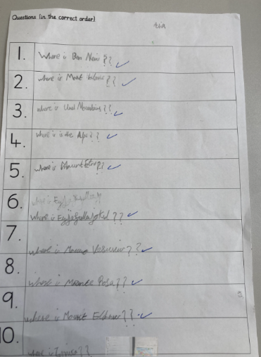
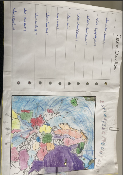
In the first half of the term, Year 4 began a new Geography topic. The children began by identifying and locating the countries in Europe. We learnt the definitions of a physical and human feature. We used Google maps to find human and physical characteristics of Italy, these included Mount Vesuvius, Lake Como and the ruins of Pompeii. We compared the human and physical features of the U.K and Italy. Our topic then moved on to finding the features of mountains which include a ridge, valley, summit and tree line. We researched how different mountains were formed and shared our new knowledge with the rest of the class. The children then designed a quiz game to test their own retention of knowledge, as well as their peers’.
Year 5 studied South America in the first half term. They looked at a variety of maps, including topographical maps. They learnt about the various climates that stretch across this massive continent. The understanding of mountains in South America, built on their prior knowledge of plate tectonics. They also looked at human features as well as the physical features, ie populations, life expectancy, access to health. The data that the children were presented with, helped them to think like geographers, drawing on their breadth of knowledge. Regular quizzes, encouraged the children to realise that they had retained a lot of information, which they built on each week.
In year 6, our geography learning has focused on trading and economics. We examined and explained how land is used in the UK and discussed the affects that economic activity has on land use. We worked in groups to present information that we learnt about the high speed train HS2 and the positive and negative impacts this would have on the economy and environment. We identified and described the world biomes and where North America is in the world. We looked at Britain’s trading links with other countries and whether the items we use are imported or exported.