Year 3
The children have been learning about settlements.
They started by considering the history of settlements, building on their learning of prehistoric history and the needs of early settlers. They loved using Google Maps to research more about the history of place names, both locally and nationally. They then looked at how and why settlements have changed over time.
Next, the children have used maps and map symbols to explore settlements and what you might expect to see and do if you visited an area. The children built on their math skills, using their understanding of coordinates, to be able to use grid references to investigate settlements with either 4 or challenged to use 6 figure grid references.
The children then created their own maps of a settlement to consolidate their learning of amenities and infrastructure, by creating and naming their own map, which they thoroughly enjoyed. They also celebrated their learning by completing a multiple choice quiz, to check their understanding during this unit.
Year 5
Year 5 studied South America in the first half term. They looked at a variety of maps, including topographical maps. They learnt about the various contrasting climates that stretch across this massive continent. They also looked at human features as well as the physical features, ie populations, life expectancy, access to health. They compared the landscape features of South America with that of the UK. The children were able to articulate their understanding of the presence of mountains in South America using their prior knowledge of plate tectonics. The data that the children were presented with helped them to think like geographers, drawing on their breadth of knowledge. Regular quizzes, encouraged the children to realise that they had retained a lot of information, which they built on each week.
Our learning has had cross curricular links with our writing unit on diaries where we read the text ‘Romel’s Rainforest Home’. It is written from the perspective of a young Chachi Indian, named Romel, who lives in the rainforest in San Salvador, strengthening our depth of knowledge.
Year 6 Geography
This term in Geography, Year 6 have been deepening their understanding of how our world is organised, connected, and shaped by human activity.
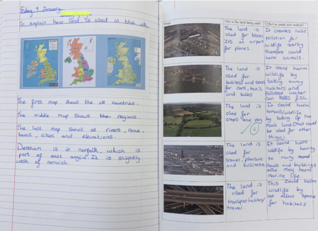
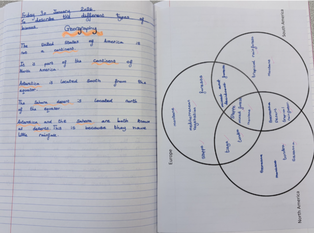
The children have been exploring different types of land use, analysing how areas are designated for housing, farming, transport, industry and recreation. They have also investigated the major biomes of the world, comparing climates, vegetation and animal adaptations across regions such as rainforests, deserts, tundra and grasslands.
As part of our human geography focus, pupils have been examining whether people and their movements follow patterns, looking at migration, population distribution and the reasons why communities settle in particular places. They have also studied how settlements develop and grow, identifying patterns linked to natural resources, landscape and economic opportunities.
Building on this, the children have recognised that the UK trades with many countries around the world, importing and exporting a wide variety of goods.
Throughout all of these topics, Year 6 have been working hard to explain, reason and justify their ideas, using evidence to support their thinking and developing confidence in presenting their viewpoints.