
Reception
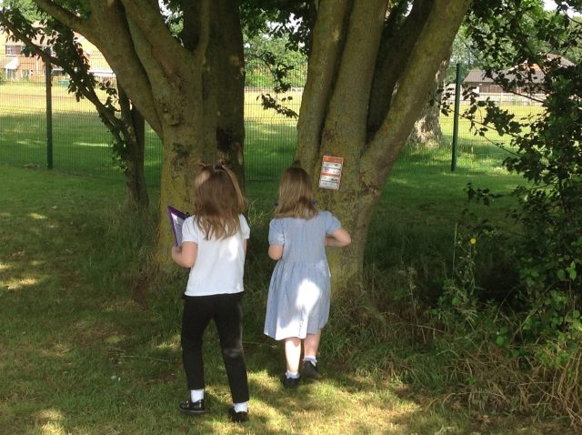
Reception children have been learning about maps. They used the orienteering routes outside and searched for the clues. They looked at the map of the route they took and discussed what they found. They shared the story Henry’s Map and recreated their own version of the story by visiting different locations around the school and creating their own maps. They also created their own pirate maps and drew on a route to the treasure, as well as considering time adverbials for the order of our route.
Year 1
The children in year 1 elaborated on their learning of Norfolk, to learn about the United Kingdom.
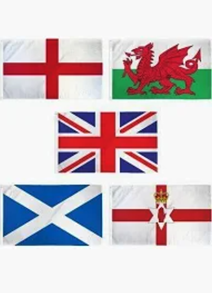
They learnt what the United Kingdom was an island nation made up of 4 countries. Then they learnt about the countries, their flags, locations, their capital cities and the waters that surround them! In groups, the children labelled a map of the United Kingdom and their capital cities.
They also focused on each country of the United Kingdom and learnt some landmarks, food and cities in each country. They then made their own flag of choice from the UK and they played a game based on which landmark was in what country.
“We live in England” Marli
“In Scotland, they have the tallest mountain in the UK” Omari
“In Wales they have their own language and the capital city is Cardiff” Edie
Europe
The children in year 1 recapped where they live using google earth and thought back to previous lessons on the UK, Norfolk and Dereham. They listened to a song about the continents of the world and learnt what a continent is. They looked closely at our continent- Europe and learnt some facts. They discussed where they had visited or had family and found them on a map.
The children used their knowledge of 4 European countries and played the ‘European Four Corners’ game. At the end of the lesson the children came up with a list of questions they would ask if the met a person from another country.
The children learnt about the country Estonia through receiving information from a family who live in Estonia. They answered lots of the questions that the children had asked in the previous lesson. The children then compared Estonia to the UK by discussing their similarities and differences. They also enjoyed watching a video of some traditional Estonia dancing.
Orienteering – Geographical skills and fieldwork
The children used simple compass directions (North, South, East and West) and locational and directional language [e.g. near and far; left and right], to describe the location of objects around the school, and they then had to place them in the correct place on a quadrant. They worked in teams to do this. They used a map of the school to locate the objects. The children enjoyed working in teams to do this.
Year 2
Building on from work in year one, year two children revisited using a compass in the summer term. The children talked about why we might need a compass, where they have seen them and how to find north. They explored using the compass around school.
Child M ‘Wherever it’s wobbling and starting to set, that’s where north is.’
Child O ‘If you have a map, you can see where you’re going, like north, south, east and west.’